

Ride: Easthampton to Mt. Greylock summit, RT
123 miles, 9,000 feet climbed
Some goals aren’t about the goal. Some goals are about everything surrounding the goal: the planning, the anticipation, the work, time and travel spent achieving the goal, and the return from that achievement.
Cycling from my home in Easthampton to and up Mt. Greylock, the highest point in Massachusetts at 3,500 feet, was an all-day endeavor. It’s about a 50-mile ride just to get to the base of the mountain on the southern side, and that’s if you don’t take any wrong turns or waste valuable time blindly following your nav’s direction into a rabbit hole of mountain bike trails for which you’re not equipped.
As it is, riding from Easthampton to the Greylock base in Lanesboro is 3,700 feet of climbing up out of the Valley. Your mph isn’t going to be optimal even without the mountain bike trails.
I headed out my driveway at about 7:20 a.m. The day was perfect, about 60 degrees to start, a few clouds and clearing up. I made good time, as one may, to Williamsburg. Then the climbing started, up Route 9, five miles uphill to Goshen. From there, up and down to Cummington and a requisite stop at the Olde Creamery. Four miles beyond the Creamery, my nav suggested getting off Route 9 onto Main Road in West Cummington. I was eager to try an unfamiliar route, so I followed as the roads began climbing steeply, then narrowed, then turned to gravel, then dirt. Finally, I found myself on a single-track muddy suggestion of a path littered with bowling ball-sized rocks and stream crossings testing both my riding ability and my gravel bike’s endurance. My bike, True, who, after all, recently took me across America, was plenty tough enough. It’s just that, I was spending a lot of time and energy traversing this mountain bike trail, and I wasn’t close to Mt. Greylock.
When I finally found my way off the mountain bike trail, nav again suggested a turn and I took it, eager to get back on track. I rode a mile in and the road, now gravel, abruptly ended. There may have been a path there through the woods, back sometime in the 1960s? But little sign of anything trail-like now. So I begrudgingly turned around and headed back to the main road, cussing the entire way.
I came to Route 116 and realized it would take me to Adams and toward the north side of Greylock, not where I wanted to be. (The north road up Greylock is much more difficult than Rockwell Road on the south side.) So I opted to add about eight miles to the route, and take the time to head back down through Cheshire and work my way over to the south base of the mountain. Again, gravel roads, and my phone carrier now loosening up so that my phone fell out onto the road at one point.
Was I suspecting at this point that my Greylock trip was in jeopardy? Yes. Did I consider for a few minutes bagging the entire goal and trying another day? Yes. Sometimes it’s the smart move. Unfortunately, I too often ignore such omens and push through, which I did.
By the time I got to the Greylock Visitors Center on Rockwell Road, I’d ridden 63 miles and climbed more than 3,700 feet. The summit, my goal, was still eight more miles away and 1,700 feet uphill. After a break and a snack, I started up the steep road.
Reaching the summit of Greylock was a spectacular triumph. The weather was about as good as it gets and the views were/are stunning. 
For 15 minutes. Ironically, I determined that the climbing of Greylock wasn’t as difficult as the ride to get there.
I’d have gladly spent longer up on Greylock, but because I’d taken wrong turns and pretended I was a mountain biker on the trip there, I’d lost too much time to dally at the top. I still had 60 miles to ride back home. And anyway, I’ve been atop Greylock many times, and will be many more.
The ride home was 1) grueling, 2) long, 3) a rush in places, and finally, 4) a relief. In brief, the climb out of Pittsfield up to Windsor on Route 9 was brutal. My back was killing me as I plodded along literally in my lowest climbing gear. Again, climbing up from Cummington to Goshen, hard and slow.
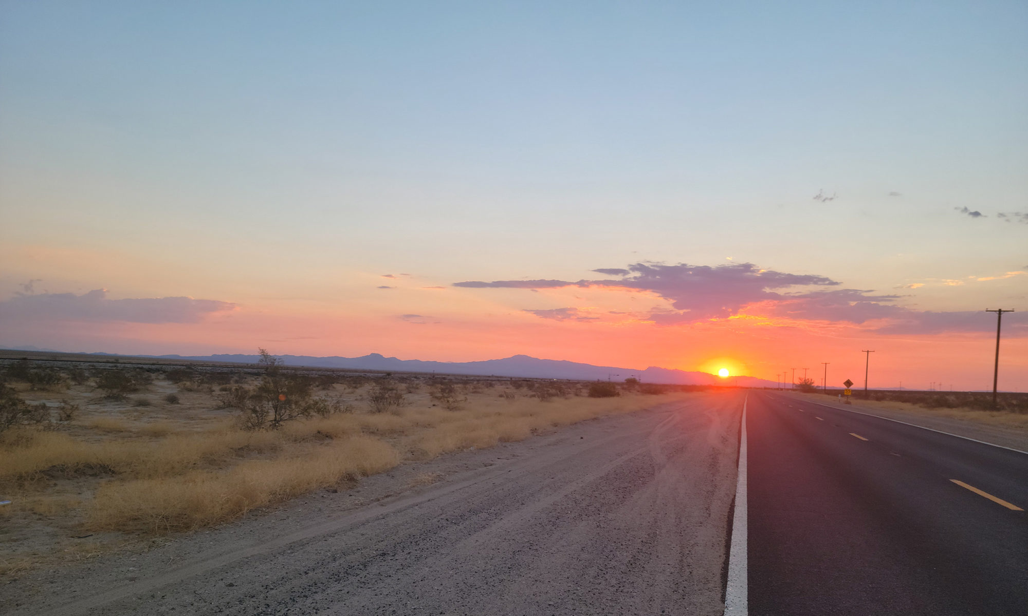
But once I reached Goshen, I knew I was golden with about 22 miles to go. I turned on the speed, 5 miles back downhill, Goshen to Williamsburg in 10 minutes, 30 mph all the way and loving every second. Then an easy jaunt on the bike path all the way home from Haydenville back to Easthampton. I rolled in at 6:45 p.m., dusk setting in.
This was a goal on my list since last spring, a big one. I set my personal records for one-day mileage and climbing. As I relaxed later that night, I couldn’t help thinking ahead to more, bigger goals. Could I make it from Easthampton to Burlington, VT, in one day?